
Jitterbug.
Jitterbug.
You put the boom-boom into my heart.
You send my soul sky-high,
And so on, and so forth.
Look, we know you were already thinking about that Wham! We just thought we would feed that earworm before talking about our WAM!, a new, interactive workshop series from the River Campus Libraries Digital Scholarship team.
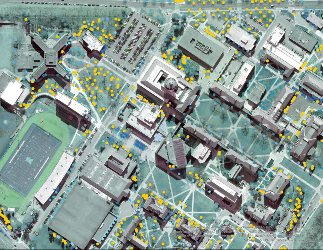
WAM! stands for Weekly Adventures in Mapping! The series is designed to help all interested University of Rochester students (undergraduate and graduate), faculty members, and staff create maps with the geographic information system (GIS) tool, ArcGIS Pro. Every week, GIS specialist Blair Tinker will take WAM-ers through a chapter of Getting to Know ArcGIS. Sessions will include discussing of the previous week’s chapter (Q&A and general troubleshooting), a walkthrough of a related exercise, and a preview of and tips for the next chapter.
The ArcGIS adventures will take place on Zoom every Thursday, beginning on March 11 and running through April 29. No previous GIS-adventuring is required.
You may be wondering, why ArcGIS Pro? In a word, ubiquity. ArcGIS is the most commonly used GIS software in the world. It’s very powerful, combining spatial analysis, map-making, and data visualization. It has applicability across disciplines but is especially useful in history, environmental studies, political science, and economics. And it can be used to publish project findings. Plus, Rochester maintains licensing to the software, purchases training materials, and has resident experts (i.e., Tinker).
WAM! was also created to expand annual opportunities for GIS training at the University. Previously, Rochester students had one shot—an Intro to GIS course offered by the Department of Earth and Environmental Sciences in the fall. Many students have difficulty fitting the course into their fall course load.
“Every year, there are students who, for one reason or another, can’t take a full-semester GIS course,” says Tinker. “While that’s a great option, this series offers an alternative that can provide the foundational skills someone would need to start using the tool right away.”
So, if you like the idea of a book club and you want to be prepared to navigate the world of data in geospatial contexts, you should register for this series. You’ll be in map-shape in no time. WAM! ∎
If you have questions about Weekly Adventures in Mapping! or GIS tools, contact Blair Tinker, GIS research specialist for Digital Scholarship, at blair.tinker@rochester.edu.
