
Using historical scholarship to see the Temple of Jupiter and its surrounding geographic landscape in Classical Rome.
The Temple of Jupiter project uses Geographic Information Systems (GIS) and 3D modeling in Unity to understand how the Temple fits within the historical landscape of ancient Rome based on hypotheses regarding the size of the Temple. The next phase of the project will be focused on understanding the Temple's role in processional routes within ancient Rome.
GIS Analysis
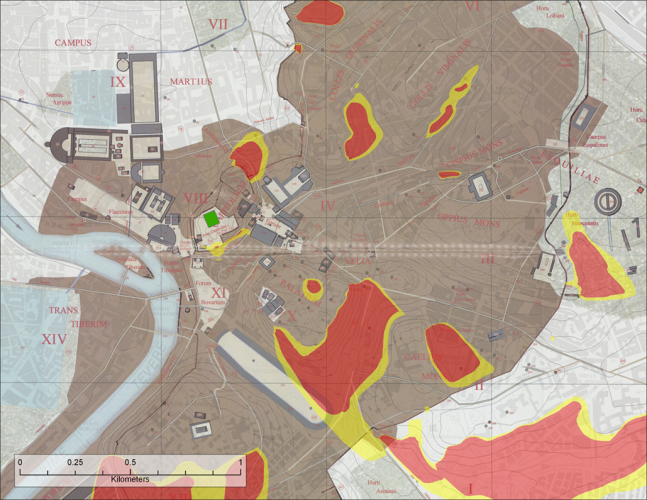
This image below represents a "viewshed analysis" performed in ArcGIS Pro. Areas in red indicate locations where either a large or small temple could be seen while areas in yellow indicate locations where only a large temple could be seen.
Comparing Temple Sizes
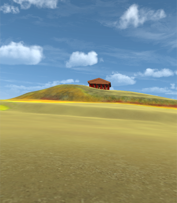
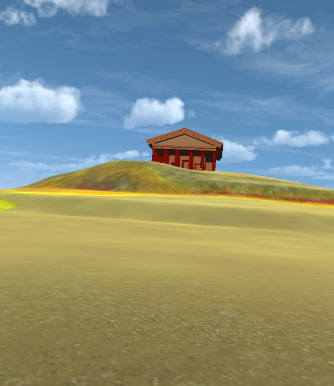
Below are views of the temple from the front. The left image is of the smaller temple version while the right is the larger version of the temple viewed from the same location.
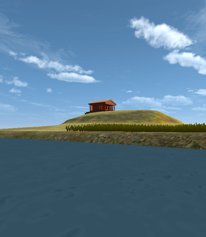
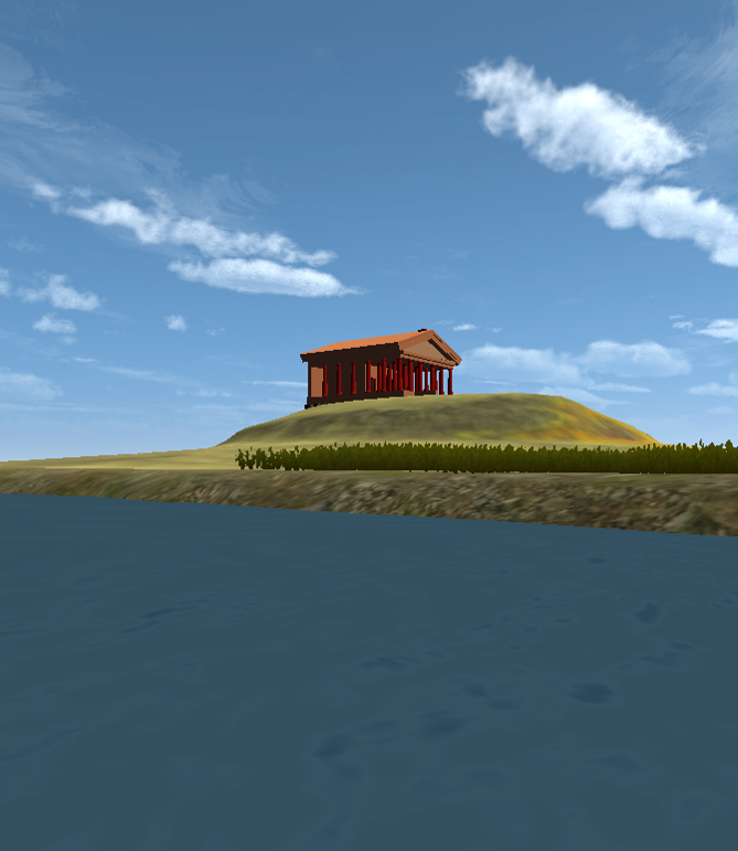
Below are views of the temple from the side as if viewed from the River Tiber. The left image is of the smaller temple version while the right is the larger version of the temple viewed from the same location.
Game Engine VR
The experience is based on a model of the temple that Daniel Weiner ’16 (a dual major in computer science and classics) created as an undergraduate, using a program called Sketch-up. Then, in the fall of 2018, Blair Tinker, the Digital Scholarship Lab’s GIS specialist, built this virtual reconstruction, using combined spatial analysis and 3D modeling in Unity Gaming Engine.
